Juniper Unmanned helps enterprises reap the benefits of sensing and analytics by providing in-depth knowledge of technologies and expertise with industry best practices. We deliver the expert data collection, processing, analysis, and enablement that drive projects across all disciplines in our markets – transportation, natural resources, utilities and AEC. We envision a world where physical asset managers have real-time access to the right information, driving their ability to make highly effective decisions.
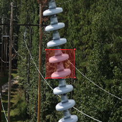
Power Pole Inspection
Reliable power supply depends on the quality and frequency of inspections. We use remote sensing and analytics to inform the condition of pole attachments.
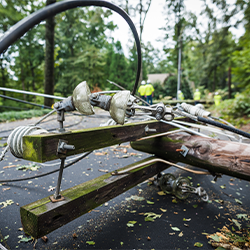
Storm Damage Assessment
After a storm ground crews often cannot access areas after a storm and rarely have enough visual documentation to back up insurance and regulatory claims.
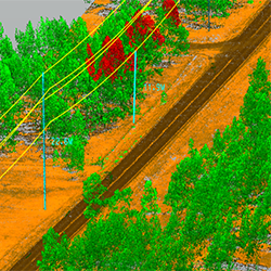
Systems Inspection
Inspection programs need to collect the right data, assess assets for condition, determine threats from nearby hazards, and connect back to daily business processes.
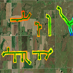
Land Management
Land management protects against excess surface use fees and erroneous damage claims. Providing a common operating picture reduces misunderstandings and facilitates coordination.
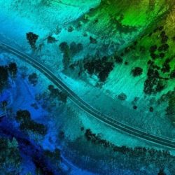
Transportation Survey
Survey data on roadways can be difficult and dangerous to obtain. Juniper’s drone-based data collection provides survey-grade accuracy in a fraction of the time.
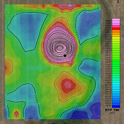
Exploration Support
Scientific advancement with powerful analytics and artificial intelligence makes exploration activities like seismic studies, test wells, and reservoir modeling more productive.
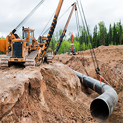
Facilities Management
Optimizing development of the resource requires evaluating competing variables. Advances in technology allow digital analysis that reduces costs and expedites management.
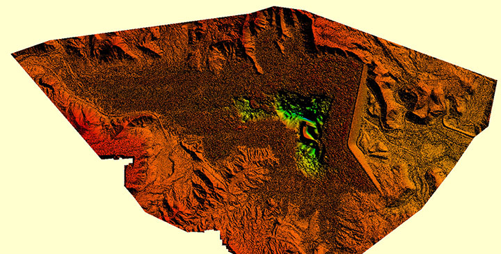
3D Terrain Models
We build high-resolution 3D terrain models to streamline planning and staging for projects of any size.
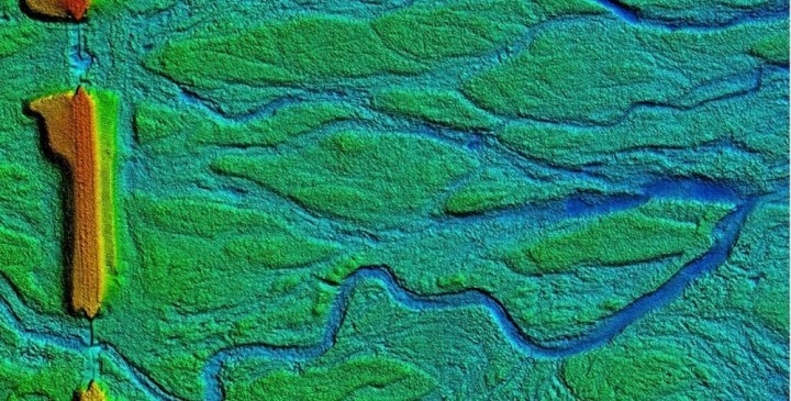
HYDROLOGIC SURVEYS
We provide advanced solutions for managing and preparing site data required for Hydrologic surveys.
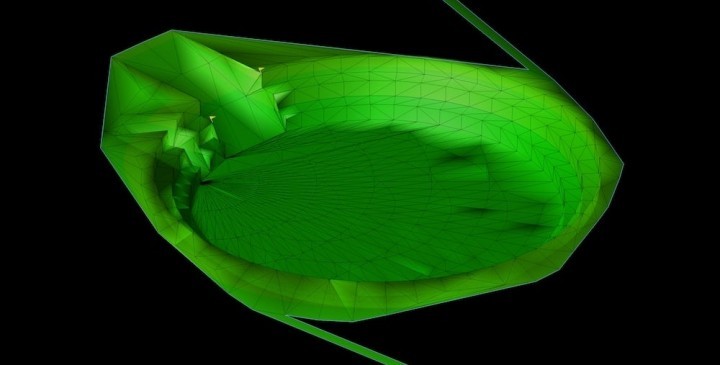
DIGITAL SURFACE/TERRAIN MODELS FOR MACHINE CONTROL
We provide advanced solutions for managing and preparing site data required for machine control projects and earthwork quantity takeoffs of any size.