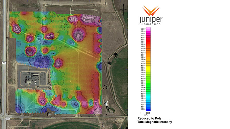
Moving oil and natural gas safely through hundreds of miles of pipeline infrastructure requires accurate and well-maintained maps. From well pads to pumping stations to pipelines to storage facilities, critical assets must be precisely located, and their day-to-day operational conditions must be carefully monitored. Mapping must often be conducted over great distances in remote or difficult terrain where safety and movement considerations become paramount. Using drones to fly asset corridors and work areas represents a cost-effective, safe and timely way to categorize and monitor facilities. Juniper Unmanned has the expertise collecting and processing unmanned aerial data to create:
- As-built facility maps
- Pipeline integrity maps
- Right of way and corridor planning maps
- Facilities security assessments
- Plan and profiles
- Well pad siting studies
- Identification of subsurface infrastructure
