Between 2003 and 2006, Jeff Cozart was deep in the dry tropical forest of the Yucatan Peninsula conducting surveys of Mayan archaeology. He was deeply involved with cultural preservation and historical tourism. An accurate survey of the sites was key to his mission. He worked in hot and dangerous conditions contending with rattlesnakes, spiders, and poisonous plants. Many of the sites were very remote and required Jeff to carry bulky and heavy GPS equipment to get there. This challenging work resulted in Jeff’s work being featured in many publications including National Geographic Maps.
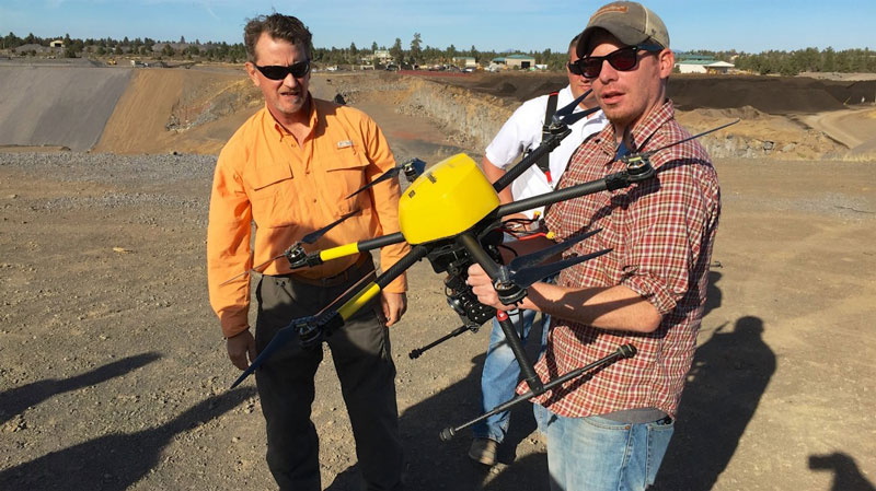
Several years later, Jeff was at a trade show where a small unmanned aircraft system was being displayed that was capable of producing high quality maps. Remembering the difficulty of crawling through the jungle, Jeff recognized this as a game-changing technology. He began conducting research around 2009 and joined the faculty of the University of Colorado. Specifically, Jeff developed expertise in the use of unmanned systems for civil engineering applications.
